
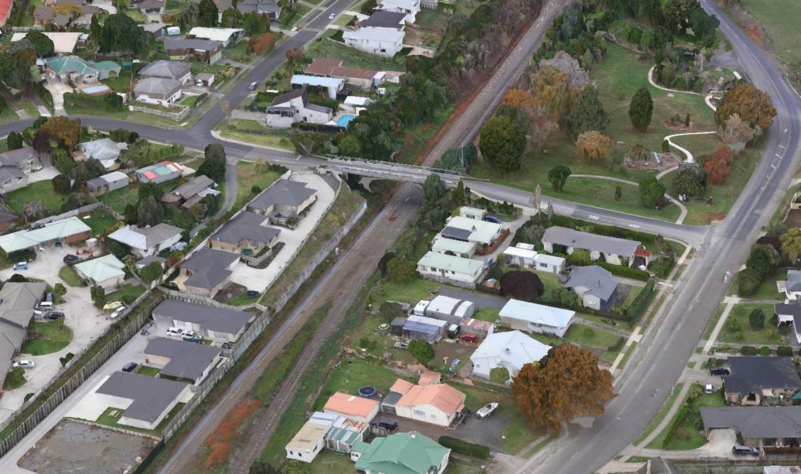
AERIAL MAPPING
DRONE SURVEY & LIDAR
3D SCANNING & MODELLING
Auckland Based
Available NZ wide
Our Services
-
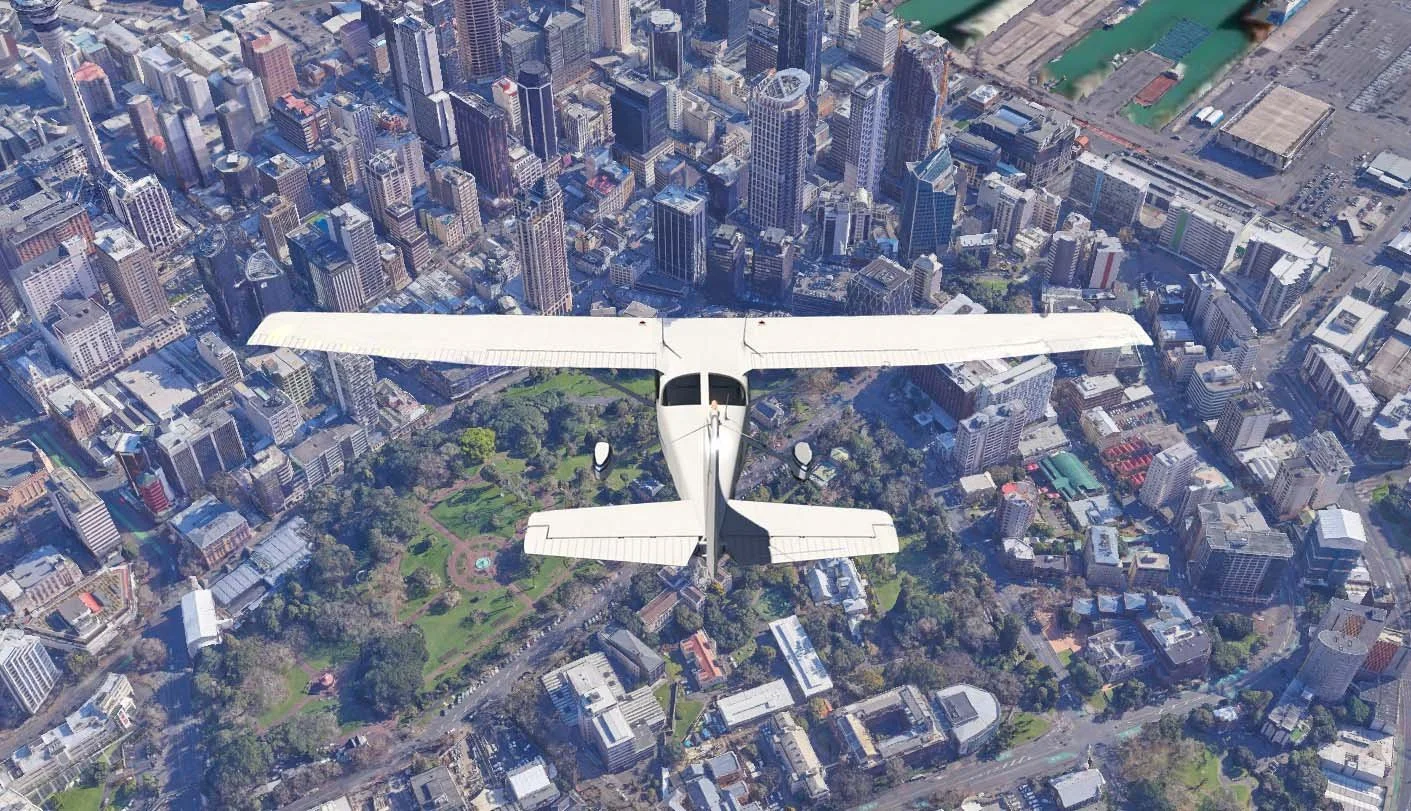
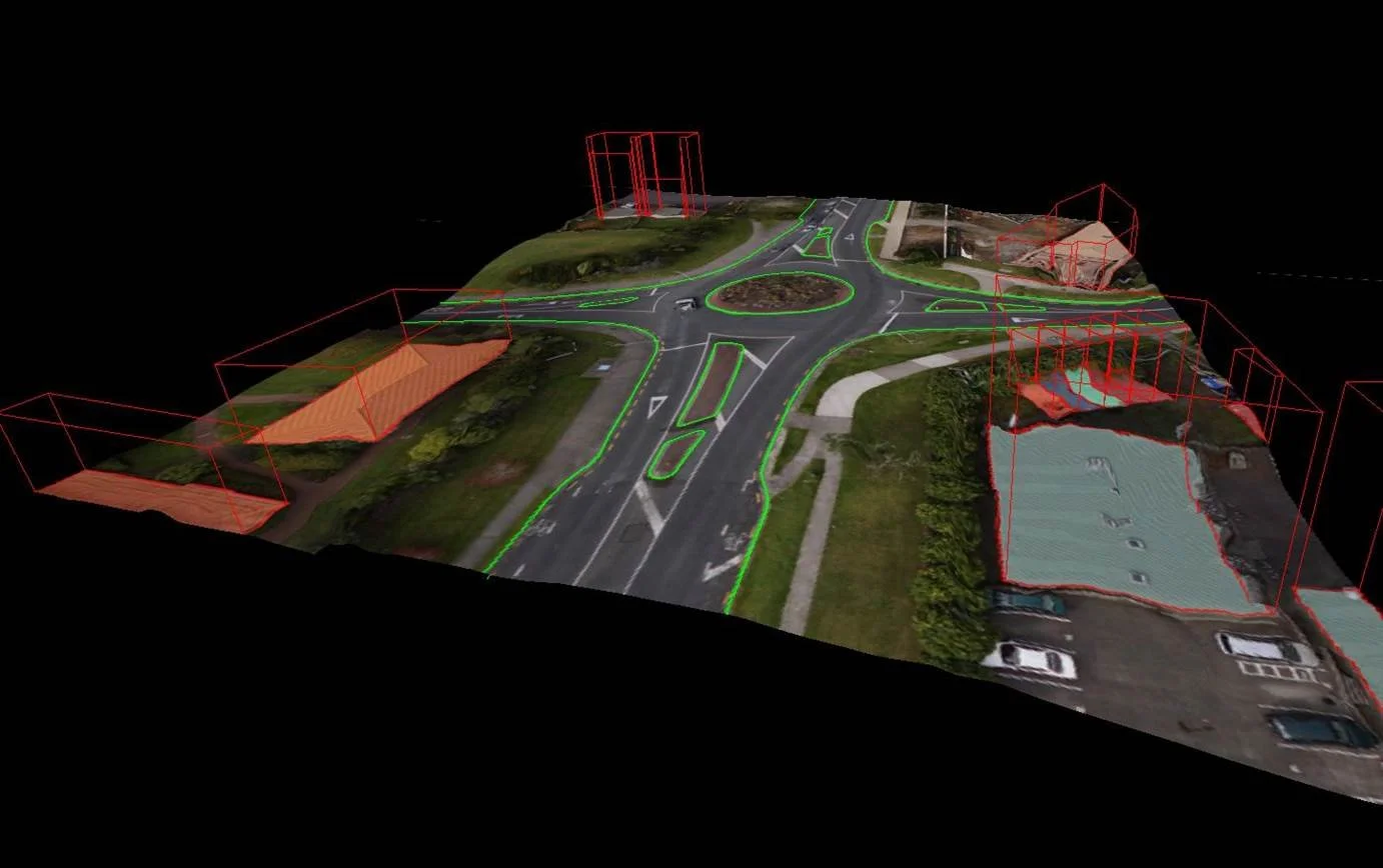
Aerial Mapping
Aircraft equipped with high-resolution camera technology are employed to capture detailed imagery and terrain data.
-
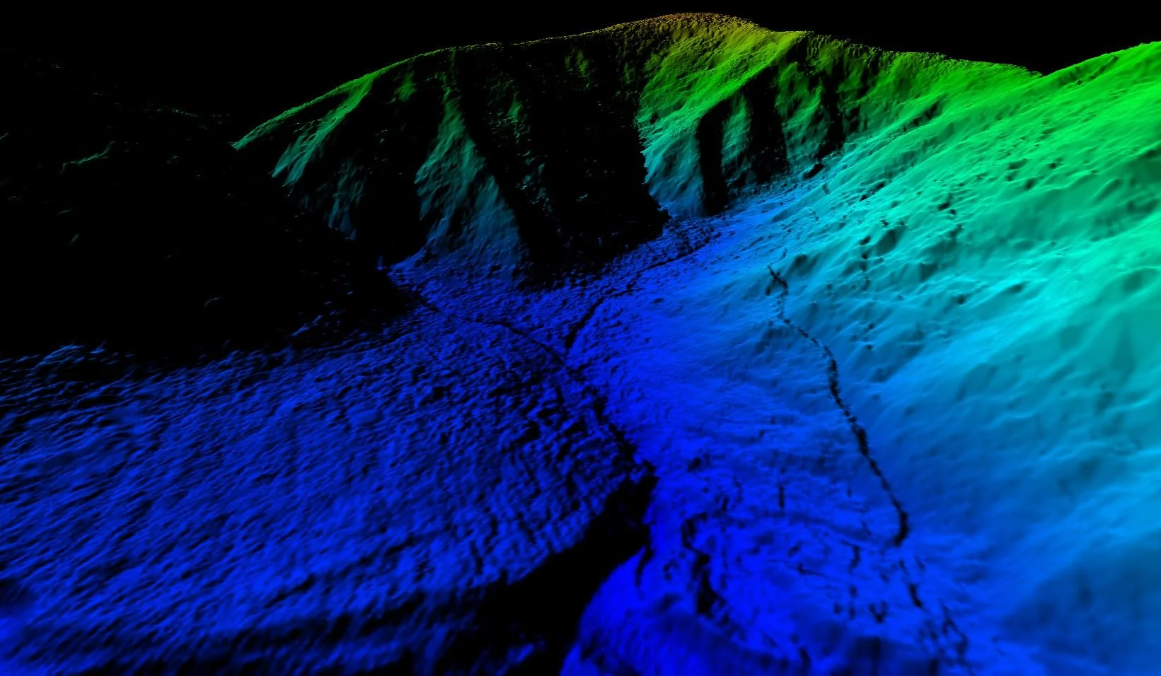
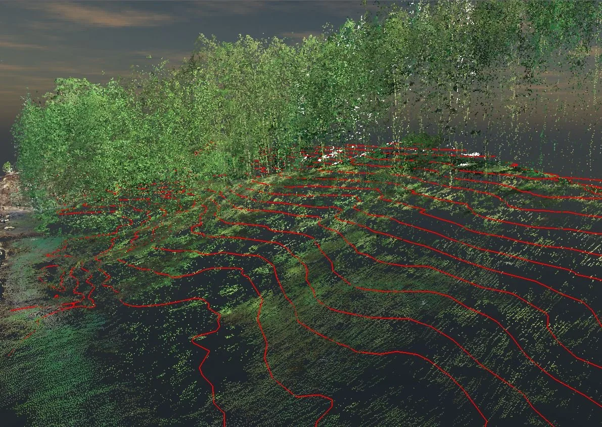
LiDAR
For drone surveying of complex vegetated areas, our LiDAR services mean we can map the ground enabling the creation of digital terrain models and contours.
-
Drone Mapping
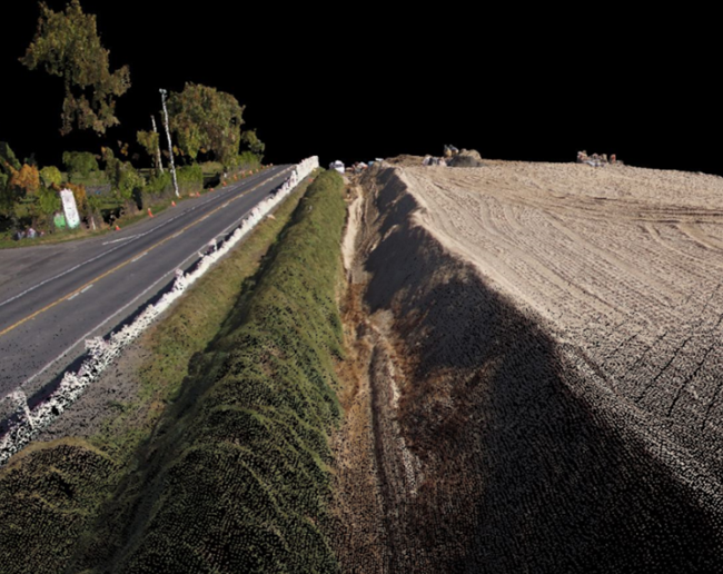
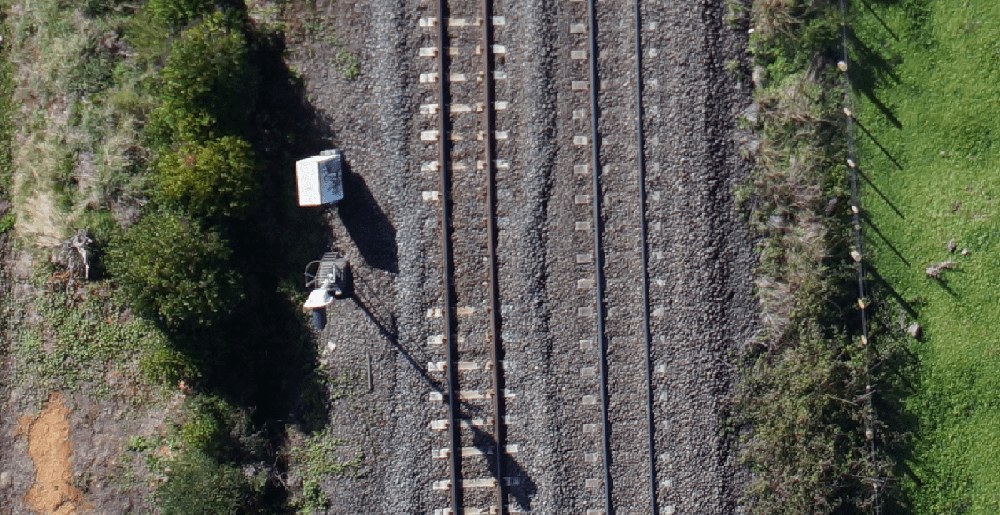
We are professionals in capturing drone-based aerial mapping data. 3D aerial mapping can include cliff mapping, measuring stockpile volumes, road surveys, railway line surveys and river surveys.
-
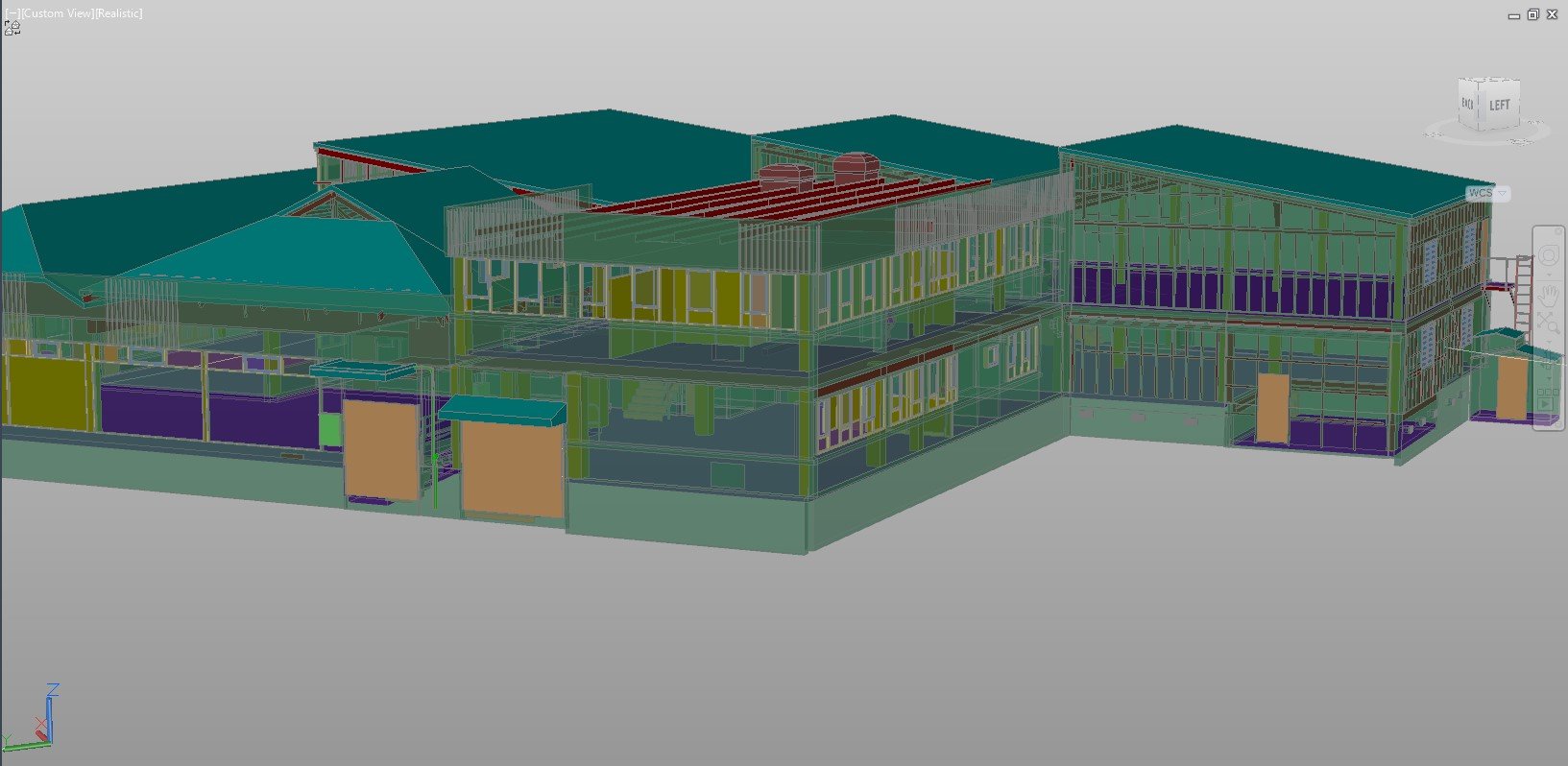
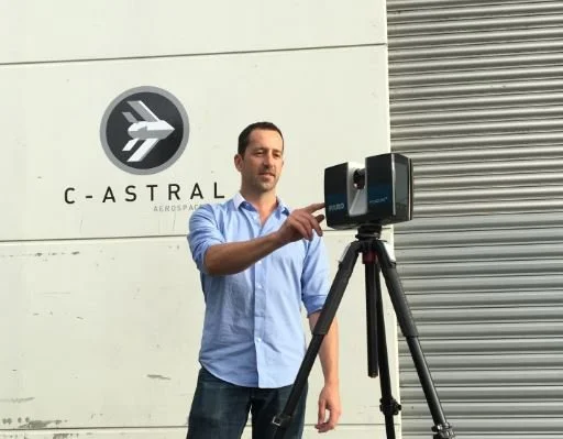
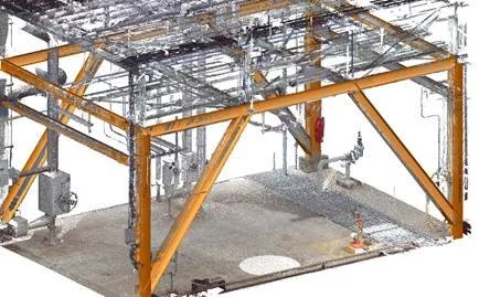
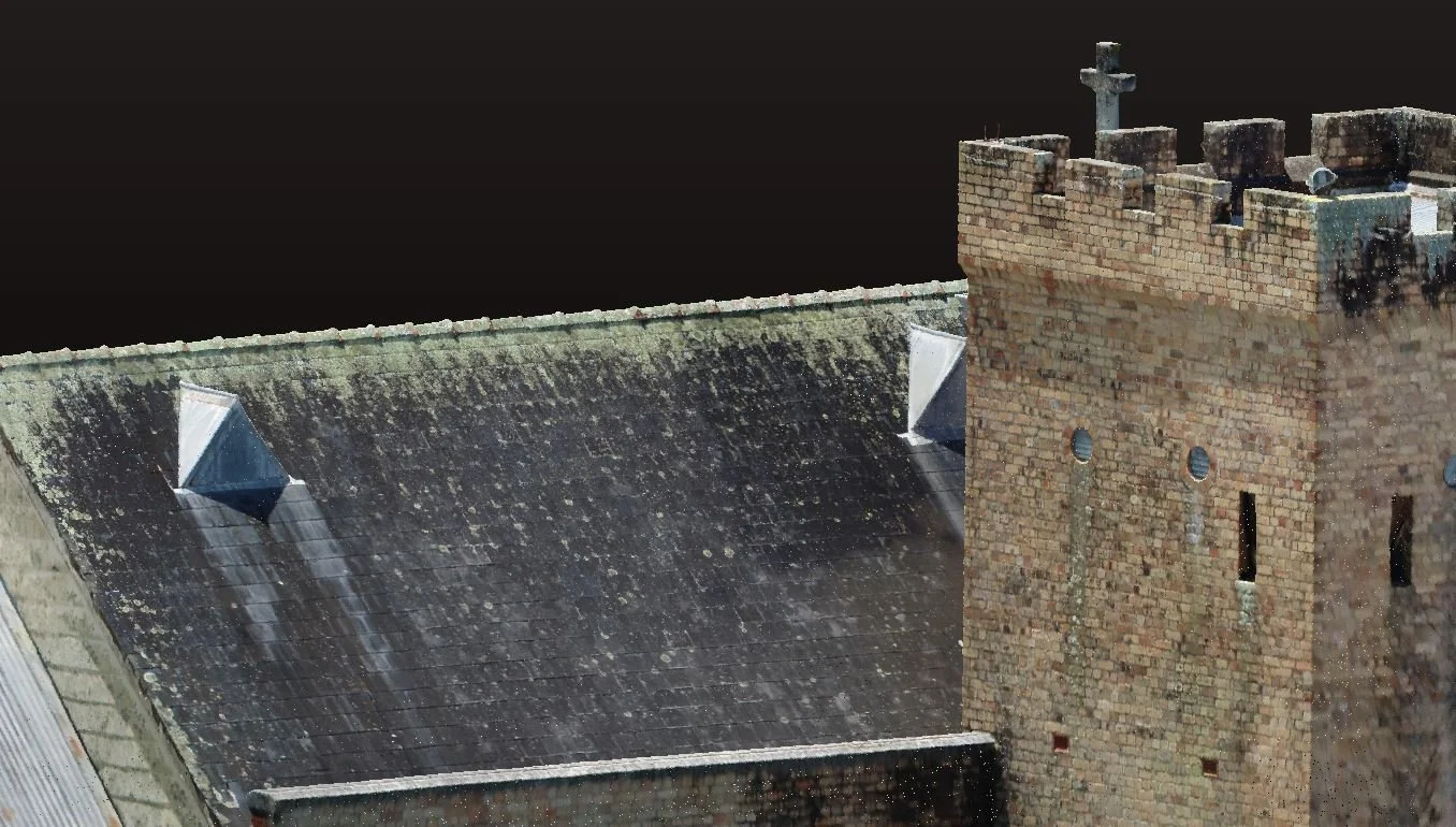
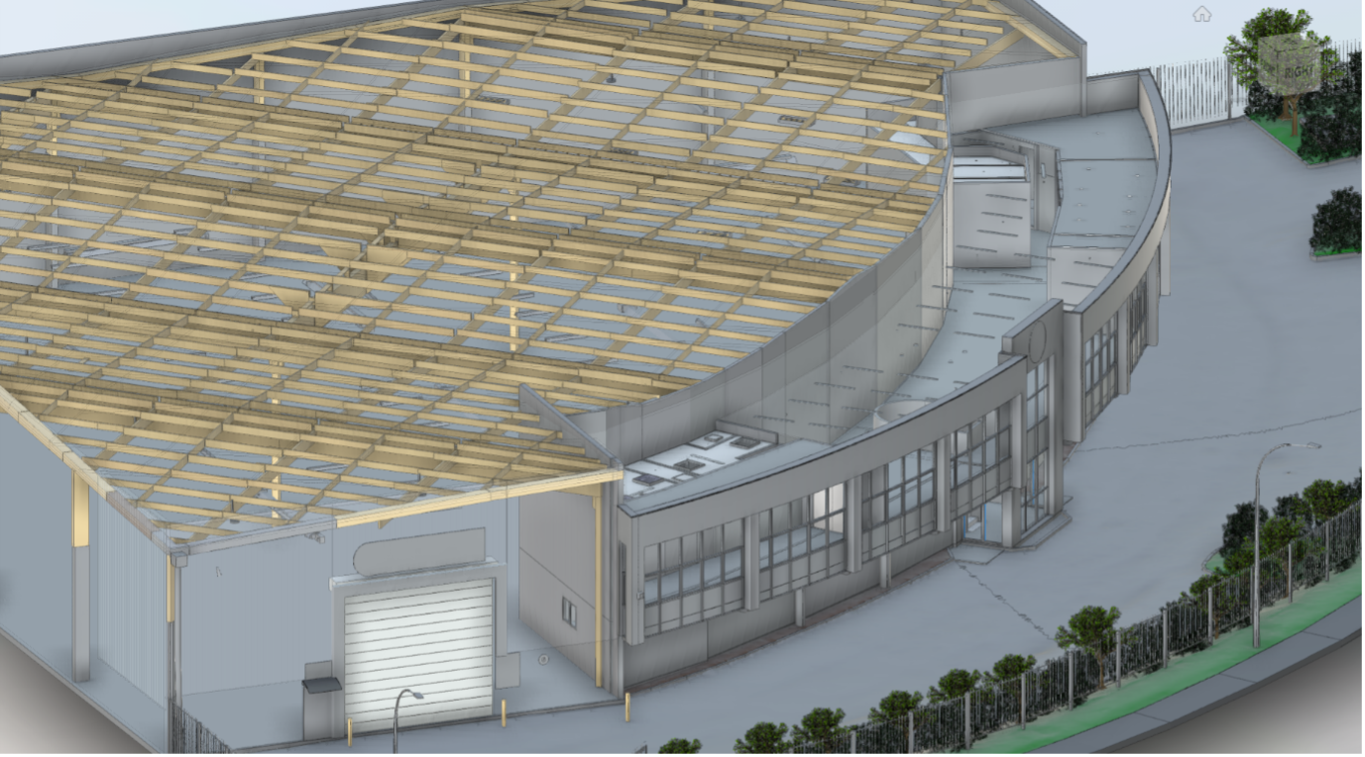
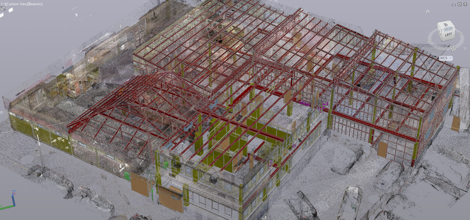
3D Laser Scanning
Carried out in various fields including construction, transport, power, utilities, BIM, heritage and industrial applications.
-
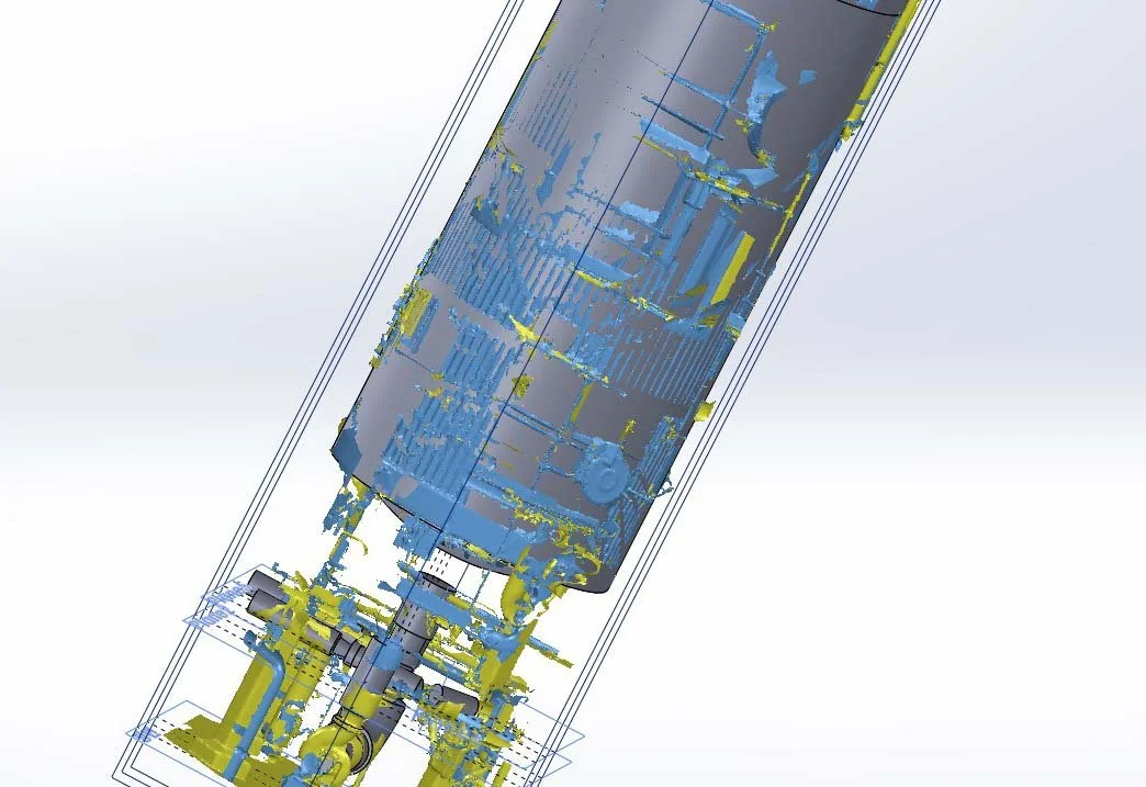
Reverse Engineering
Our portable 3D scanning services ideal for modelling purposes. We transform your part into a pointcloud, digital 3D mesh or 3D CAD model efficiently and effectively.
-
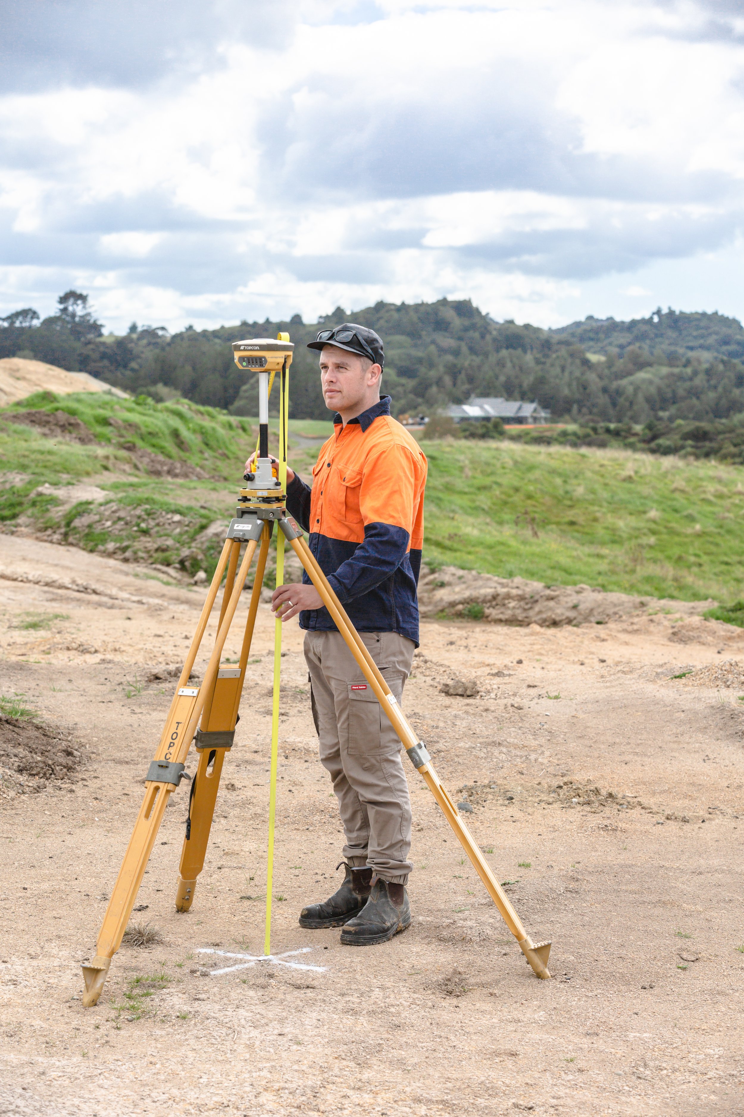
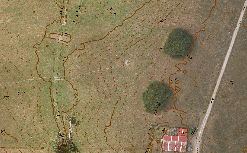
Surveying
Trained and experienced in construction and civil surveying, topographical survey, we use the latest Topcon GNSS and robotic total station equipment.

Aerial drone surveying data collection by a team of trained UAV pilots
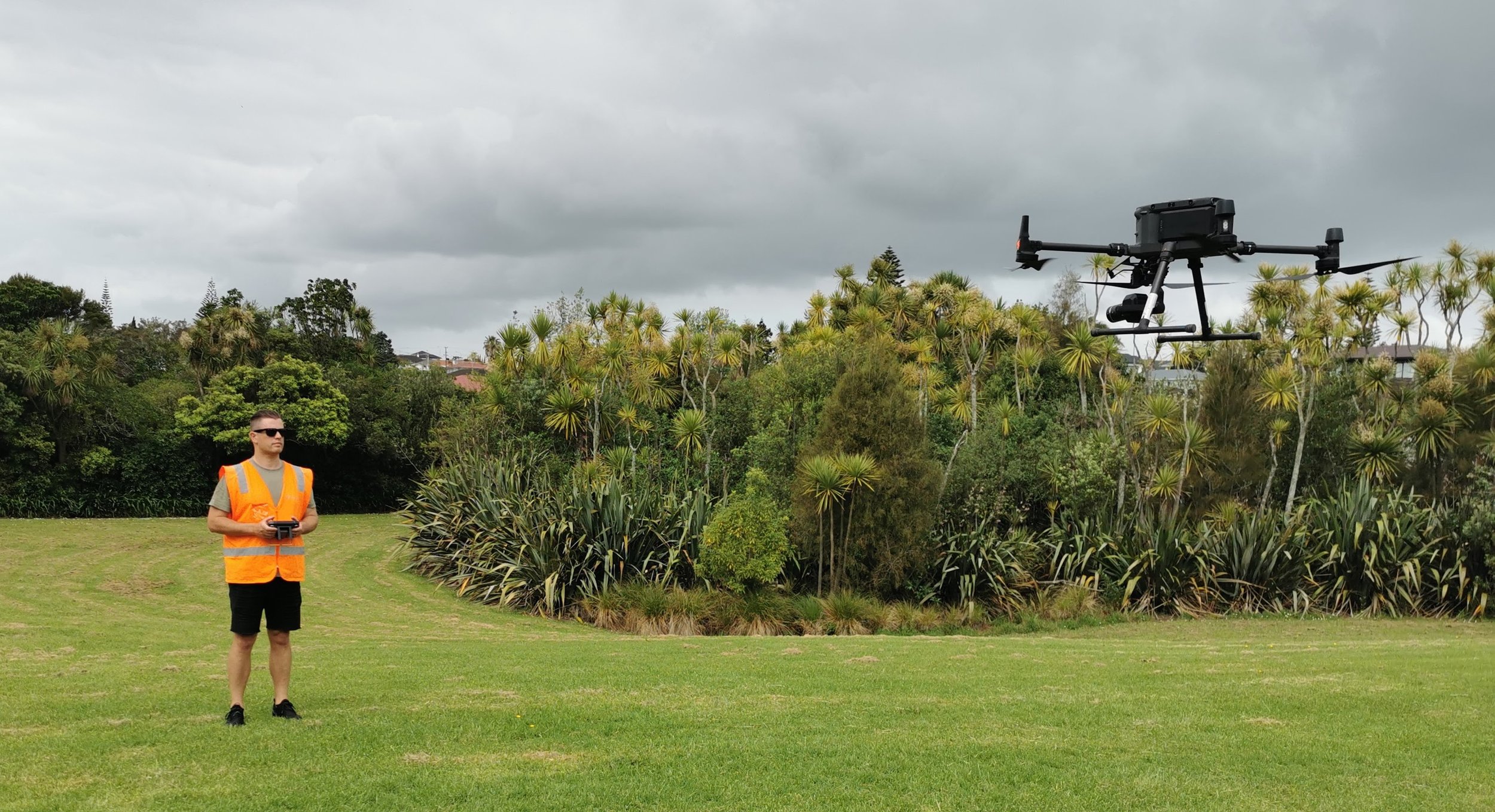

We’re an experienced team from a variety of backgrounds including surveying, aerial drone mapping, manufacturing, and 3D design.
We love what we do and enjoy taking on all projects that allow us to dive deep into data.
Industries
-
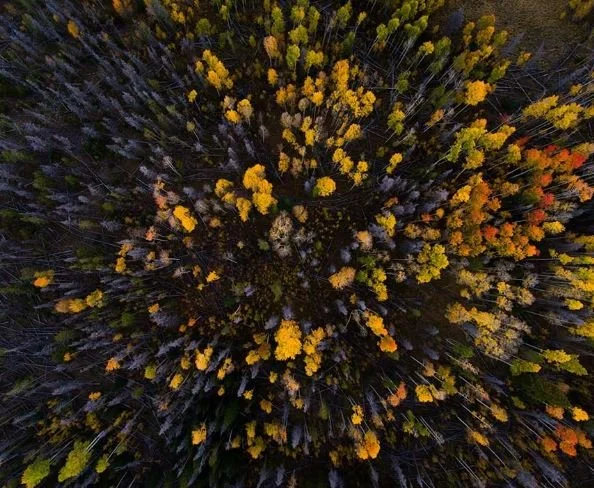
![Agriculture & Forestry - Surveying]()
Agriculture & Forestry
-
![Architecture, Construction & Engineering]()
Architecture, Construction & Engineering
-
![Heritage - Surveying]()
Heritage
-
![Industrial]()
Industrial
-
![Land Development]()
Land Development
-
![Local Government]()
Local Government
-
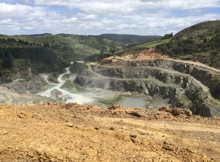
![Mining]()
Mining
-
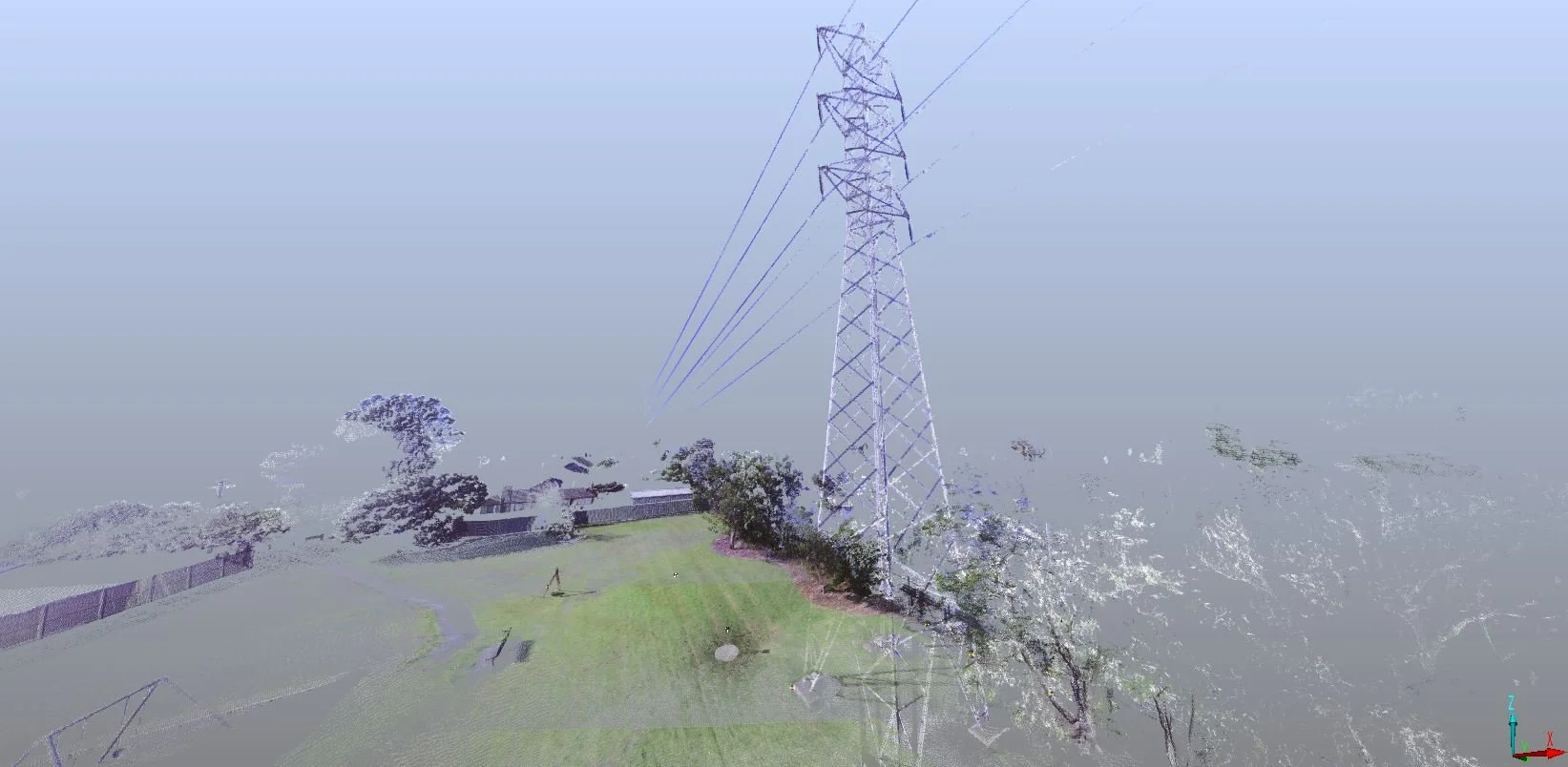
![Power and Utilities]()
Power and Utilities
-
![Transport]()
Transport
Our Clients


Case Studies

Recon was approached by surveying and engineering professionals Aurecon in early 2022 to provide LiDAR aerial mapping services for NZ Windfarms Limited’s Te Rere Hau wind farm repowering project located on the Tararua Ranges.